Swoop 2010 digital orthophotography for the Regional Municipality of Waterloo. Resolution for aimagery is 20cm with horizontal and vertical accuracy of 50cm. Eventually, imagery for
approximately 45,572 square kilometres of land in Southwestern Ontario will be available.
Thursday, November 3, 2011
Thursday, October 20, 2011
Interactive Map Showing Aerial Photography Coverage/ Years's available at the University Map Library
 Interactive Map Showing Aerial Photography Coverage/ Years's available at the University Map Library.
http://www.lib.uwaterloo.ca/locations/umd/photos/airphoto_index.html
Monday, September 12, 2011
1:250,000 Digital Maps of Greece, (both georeferenced and non-georeferenced)

Received from LandInfo Worldwide Mapping, on June 24, 2011, two scanned sets of 1:250,000 JOG (Joint Operation Graphic) Topographic Maps of Greece. One set is georeferenced and cropped (no legend or border). The second set is non-georeferenced and includes the borders and legend.
Wednesday, August 31, 2011
City of Toronto 2009 Orthoimagery
 Received on 24 May 2011 from the City of Toronto, two distinct and complete 2009 colour orthoimagery data sets for the entire City of Toronto. The first data set consists of 5,754 tiles each covering an area of 0.5 km2 and with an image resolution of 10cm ground. The second set is an orthomosaic with image resoulution of 40cm.
Friday, August 26, 2011
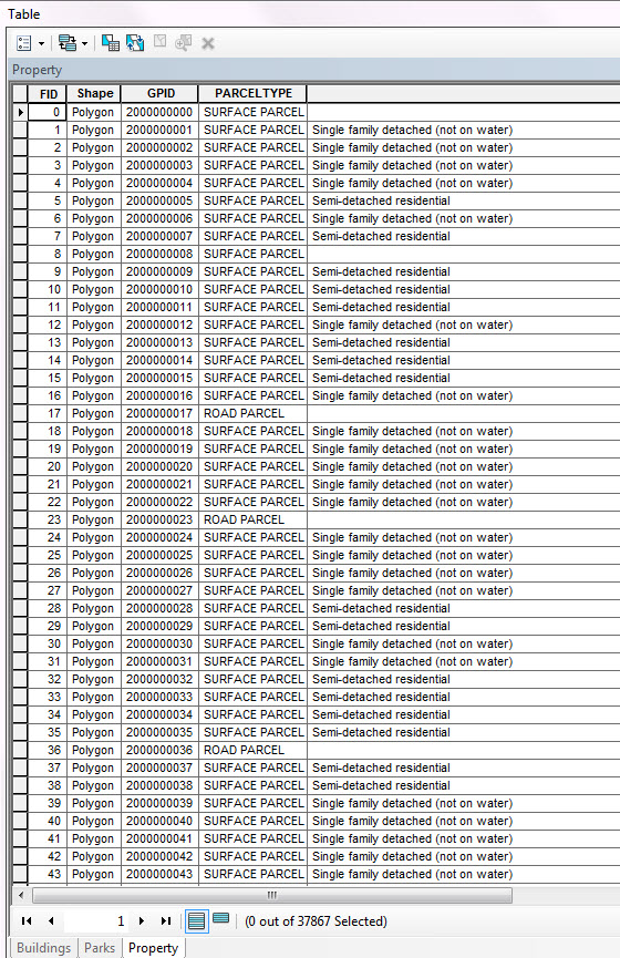
City of Toronto: Property Data Maps
 Received on 24th of May 2011 from the Geospatial Competency Centre, Mapping Services, City of Toronto, an updated set of tiled Toronto Property Data maps (PDMS) with print date of Feb 2011.
Thursday, August 18, 2011
City of Guelph 2011 Municipal Data

Received June 9, 2011 updated municipal data, including a new property/ building type file not previously available from the 2006 data release.
Wednesday, August 17, 2011
Simply Map Canada 2.0
 SimplyMap Canada is being upgraded from 1.0 to 2.0 and will be available early September, 2011. New version available for trial from August 18, 2011 to September 5, 2011 at: http:sm2.simplymap.com
Monday, August 15, 2011
RMOW street network

Received on May 24th, 2011, single line street network shapefile from the Regional Municipality of Waterloo. Shapefile has the same rich attribute information as earlier editions.
Thursday, June 30, 2011
Official Plans for the Regional Municipality of Waterloo (2006 and 2009)

The 2006 and 2009 Regional Official Plans contains planning policies for directing growth and change in Waterloo Region and was developed in consultation with community groups, area municipalities and agencies and the general public.
Monday, March 14, 2011
DRAPE (Digital Rastor Acquisition Project for the East) 20cm imagery

Covers approximately 54,000 square kilometres in eastern Ontario and was taken between January 2008 - January 2009.
Thursday, March 3, 2011
Canadian Archival Road Maps

New collection of Canadian Archival Road Maps (1934-1951) compliments our collection of Ontario Archival Road Maps (1926-2005).
Tuesday, February 8, 2011
1964 and 1969 Air Photos - Bruce County/ Grey County-Lake Huron

1964 and 1969 Air Photos covering Bruce County/ Grey County - Lake Huron. Scale of imagery is 1:30,000 and 1:40,000.
Monday, February 7, 2011
Northern Ontario Engineering Geology Terrain Study
Received from the Ontario Ministry of Northen Development. Interpretive data covers up to latitude 51 degrees and covers landforms and features including: bedrock, dunes, escarpment, eskers, quarries, roads, sand and gravel pits, etc.

Monday, January 24, 2011
Building Heights: RMSI Data

Building Heights received from RMSI covers the Downtown Core areas of Galt, Guelph, Hamilton, Kitchener, Waterloo, Montreal, North York, Ottawa, Toronto, London and Vancouver.
Subscribe to:
Posts (Atom)


