
Friday, November 22, 2013
Income and Housing - 2011 NHS (National Household Survey) from Stats Canada
Received from Stats Canada, NHS (National Household Survey) 2011 census profiles for Income and Housing and are now available at the Geospatial Centre.

Monday, November 11, 2013
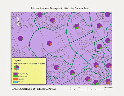
City of Waterloo: 2013 municipal data updates
Received from the City of Waterloo, 2013 municipal data updates including two new data files for bicycle parking and public art.


Thursday, October 31, 2013
DMTI Spatal: 2013 data updates
Received from DMTI Spatial, 2013 data updates for CanMap RouteLogistics, CanMap Water, CanMap Parks, CanMap Rail, Canadian Atlas, Neighbourhood Boundaries, Platinum Postal Codes and Enhanced Points of Interest (EPOI)


Friday, October 4, 2013
Greater Toronto Area: Orthoimagery 2009 - 1010
Received from Land Information Ontario, 2009/ 2010 orthoimagery for the GTA.
These digital orthoimages provide full-colour aerial coverage of Toronto core (10 cm), York (15cm), Caledon (20 cm), South Durham (20 cm), Brampton (10 cm), Mississauga (15 cm), and Oakville (10cm),
http://www.lib.uwaterloo.ca/locations/umd/digital/GTAImagery2009_2010.html

http://www.lib.uwaterloo.ca/locations/umd/digital/GTAImagery2009_2010.html

Wednesday, October 2, 2013
2011 NHS (National Household Survey) from Stats Canada
Received from Stats Canada, NHS (National Household Survey) 2011 census profiles for age/sex, aboriginal,
education/ labour, language, marital/ families/ households, mobility/ migration,
immigration/ ethnocultural/ diversity and are now available. Income and Housing
census profiles are expected to be released in the near future.
http://www.lib.uwaterloo.ca/locations/umd/digital/Statscan_Census.html
http://www.lib.uwaterloo.ca/locations/umd/digital/Statscan_Census.html
Wednesday, September 18, 2013
DRAPE (Digital Raster Acquisition Project for the East) 2008 - 2009 Imagery
Received from Land Information Ontario, the complete DRAPE (Digital Raster Acquistion Project for the East) dataset (2008-2009) for Eastern Ontario. 20km mosaics have 50cm resolution and stored in MrSid file format. Average file size is 1GB.
http://www.lib.uwaterloo.ca/locations/umd/digital/ssi/Drape.html

http://www.lib.uwaterloo.ca/locations/umd/digital/ssi/Drape.html

Tuesday, September 3, 2013
2008 QuickBird Satellite Imagery for the City of Waterloo
Obtained in August from Digital Globe, 2008
QuickBird satellite imagery for the City of Waterloo. The imagery Bundle (Pan
MS) is Multispectral, 4 bands (BIR, R,G, B) and was captured on May 29, 2008.
The 61cm geo-referenced imagery is available in GeoTiff 16 bit format.


Subscribe to:
Posts (Atom)


